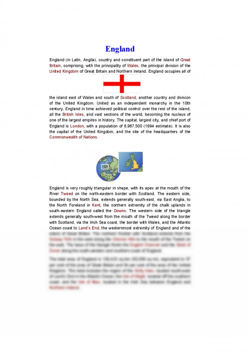
England is very roughly triangular in shape, with its apex at the mouth of the River Tweed on the north-eastern border with Scotland. The eastern side, bounded by the North Sea, extends generally south-east, via East Anglia, to the North Foreland in Kent, the northern extremity of the chalk uplands in south-eastern England called the Downs. The western side of the triangle extends generally south-west from the mouth of the Tweed along the border with Scotland, via the Irish Sea coast, the border with Wales, and the Atlantic Ocean coast to Land s End, the westernmost extremity of England and of the island of Great Britain. The northern frontier with Scotland extends from the Solway Firth in the west along the Cheviot Hills to the mouth of the Tweed on the east. The base of the triangle fronts the English Channel and the Strait of Dover along the south-western and southern coast of England.
The total area of England is 130, 423 sq km (50, 356 sq mi), equivalent to 57 per cent of the area of Great Britain and 54 per cent of the area of the United Kingdom. This total includes the region of the Scilly Isles, located south-west of Land s End in the Atlantic Ocean; the Isle of Wight, located off the southern coast; and the Isle of Man, located in the Irish Sea between England and Northern Ireland.
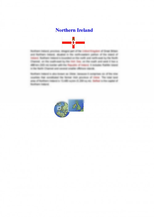
Northern Ireland, province, integral part of the United Kingdom of Great Britain and Northern Ireland, situated in the north-eastern portion of the island of Ireland.
Northern Ireland is bounded on the north and north-east by the North Channel, on the south-east by the Irish Sea; on the south and west it has a 488 km (303 mi) border with the Republic of Ireland.
It includes Rathlin Island in the North Channel and several smaller offshore islands.
Northern Ireland is also known as Ulster, because it comprises six of the nine counties that constituted the former Irish province of Ulster. The total land area of Northern Ireland is 13, 483 sq km (5, 206 sq mi). Belfast is the capital of Northern Ireland.
Wales, country and principality, part of the United Kingdom of Great Britain and Northern Ireland, united politically, legally, and administratively with England, and occupying a broad peninsula on the western side of the island of Great Britain. Wales also includes the island of Anglesey, which is separated from the mainland by the narrow Menai Strait. Wales is bounded on the north by the Irish Sea; on the east by the English counties of Cheshire, Shropshire, Hereford and Worcester, and Gloucestershire; on the south by the Bristol Channel; and on the west by the St George s Channel and Cardigan Bay. The maximum north-south length of the Welsh mainland is about 220 km (137 mi); in an east-west direction the width of the country varies between 60 and 155 km (36 and 96 mi). The total area of Wales is 20, 766 sq km (8, 018 sq mi). Cardiff is the capital, largest city, and principal seaport of Wales. ...
Documentul este oferit gratuit,
trebuie doar să te autentifici in contul tău.